Log in
All resources
Create a design
33,468 Free Images of 1730 Maps
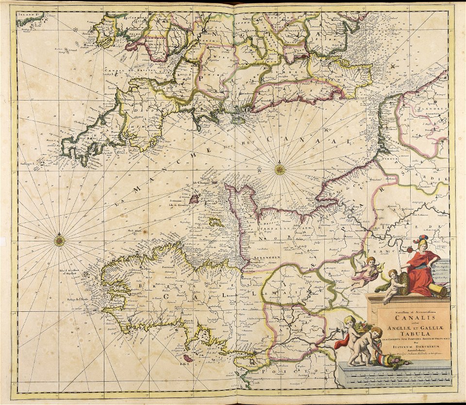
maps made in the 17th century
atlantis magni tomus primus (biblioteca comunale di trento)
moses pitt
university of toronto wenceslas hollar digital collection
jan janssonius
prints by wenzel hollar
hollar maps and plans of london
atlantis magni tomus quintus (biblioteca comunale di trento)
atlantis magni tomus secundus (biblioteca comunale di trento)
maps of fortifications in portugal
university of toronto wenceslas hollar digital collection
prints by wenzel hollar
henry william bunbury
printing
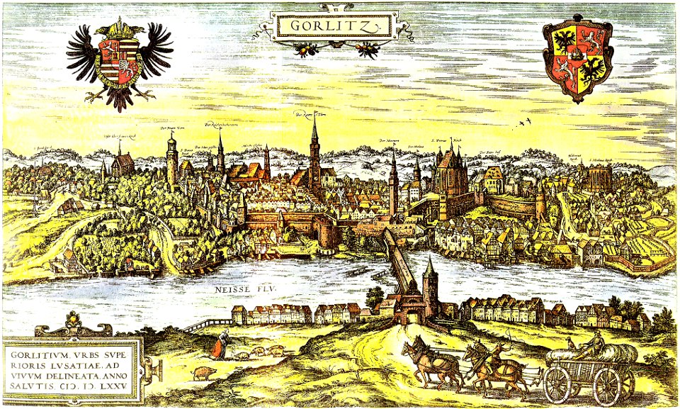
neisse in görlitz
görlitz
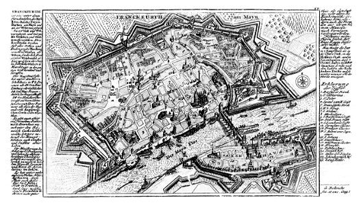
city walls of frankfurt am main
gabriel bodenehr
maps made in the 17th century
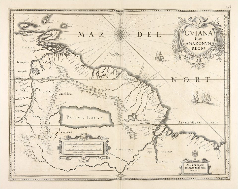
guiana
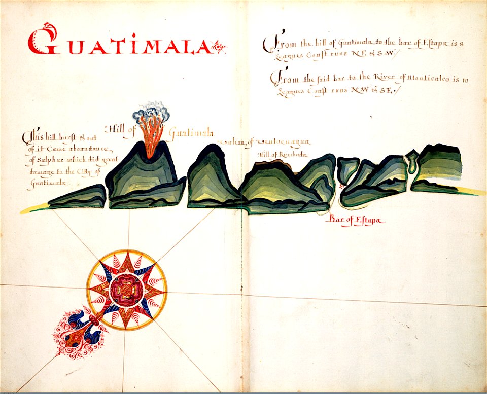
volcanoes in guatemala
old maps of guatemala
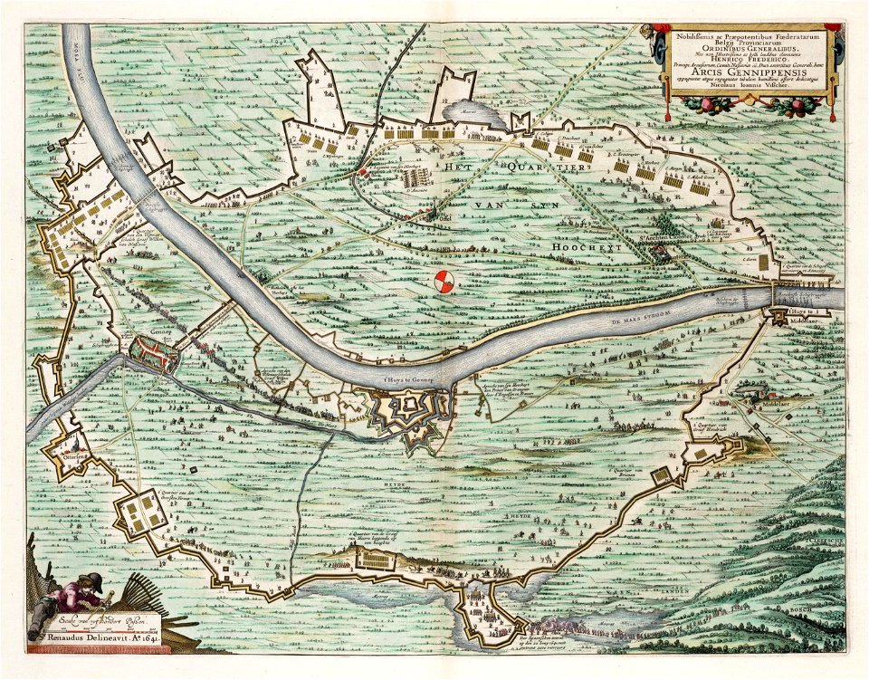
prints from hugo de groot grollæ obsidio at the peace palace library
1620s maps of the netherlands
media in the houghton library
harvard university
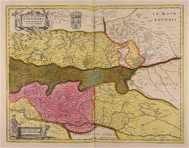
maps of landkreis weißenburg-gunzenhausen
engravings of theatrum europaeum
l'illustration
1865,
topographical paintings in the amsterdam museum
paintings of amsterdam
lepsius-projekt - maps
karnak precinct of mut
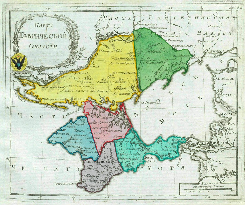
old maps of oblasts of the russian empire
small atlas of the russian empire (1792)
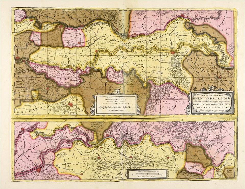
prints from the peace palace library
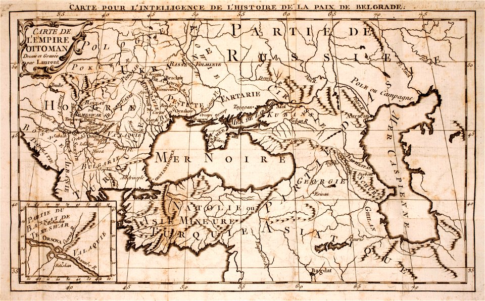
maps of the ottoman empire
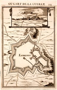
maps of fortifications in portugal
estremoz
maps made in the 17th century
jan janssonius
historical images of the cyclades
maps of mykonos
maps of fortifications in portugal
evoramonte
maps of fortifications in portugal
estremoz
maps made in the 17th century
finlandia
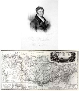
travels in the interior of north america
during the years 1832–1834
maps and topographical views by joris hoefnagel
engravings in the hungarian national museum
a history of the holy eastern church
georgia in the 19th century
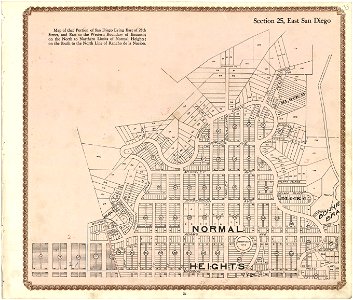
california
san diego
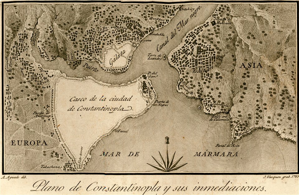
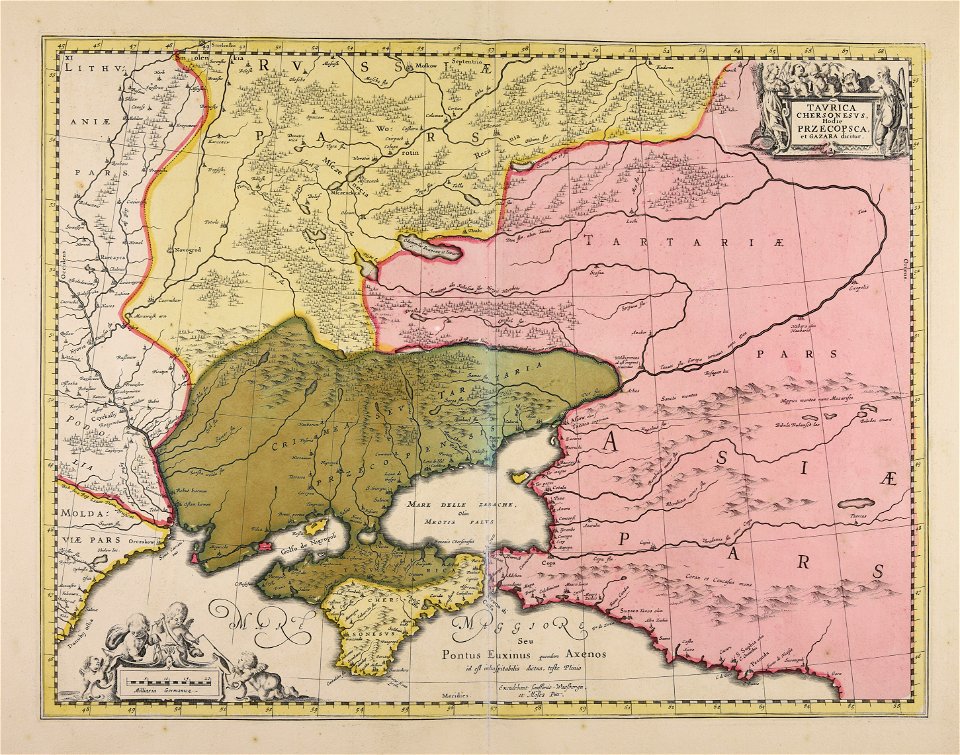
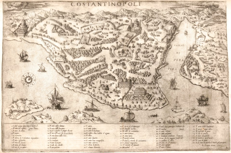
old maps of constantinople
viage á constantinopla
maps made in the 17th century
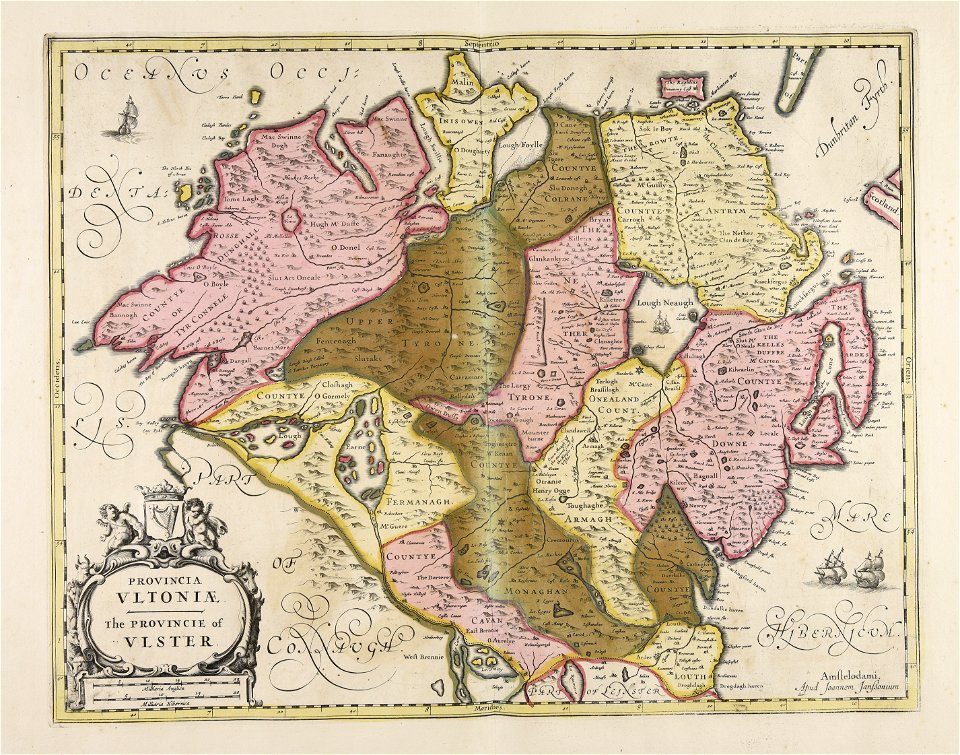
ulster
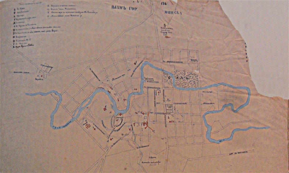
historical images of minsk
minsk in the 19th century
claes jansz. visscher (ii)
circumvallation
maps made in the 17th century
stormarn
gerard valck
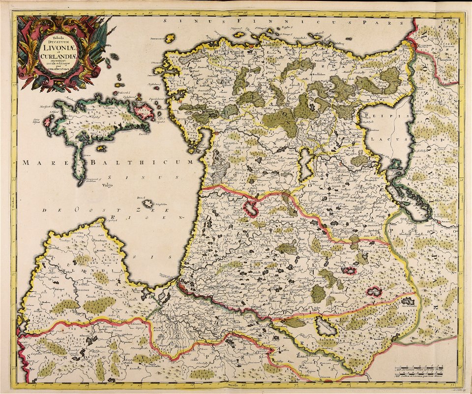
livonia
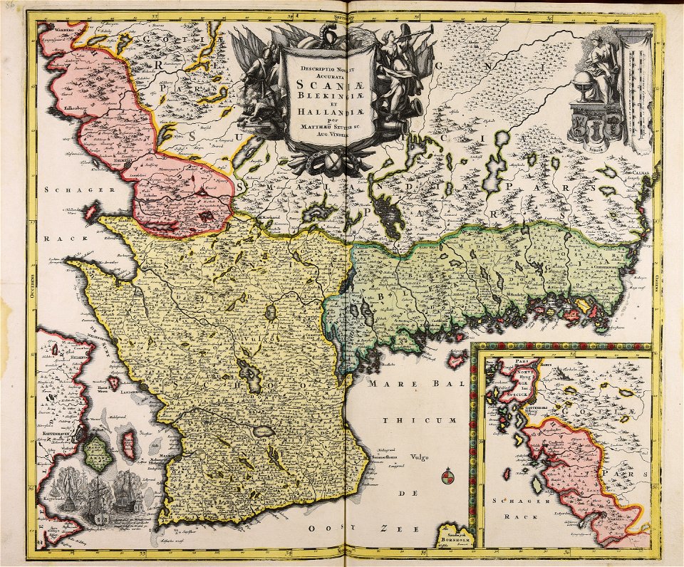
atlantis magni tomus primus (biblioteca comunale di trento)
maps made in the 17th century
atlantis magni tomus primus (biblioteca comunale di trento)
maps made in the 17th century
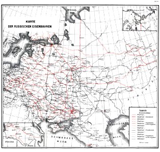
enzyklopädie des eisenbahnwesens
1912 in russia
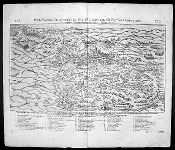
illustrations of cosmographia (münster)
battles in art
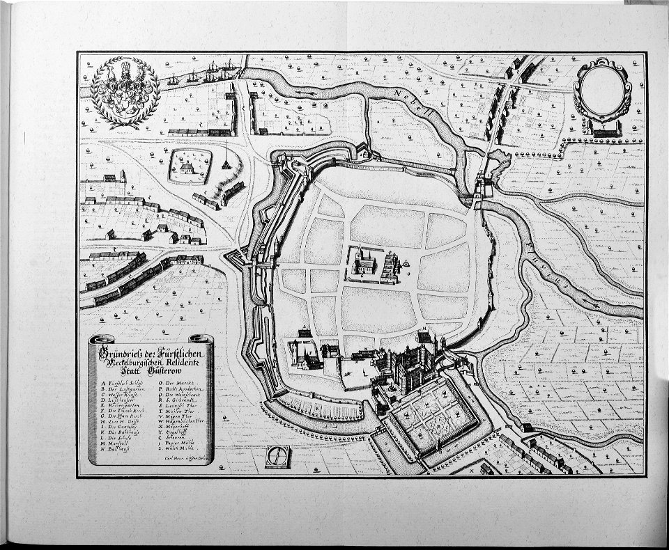
engravings of topographia saxoniae inferioris
güstrow in the 17th century
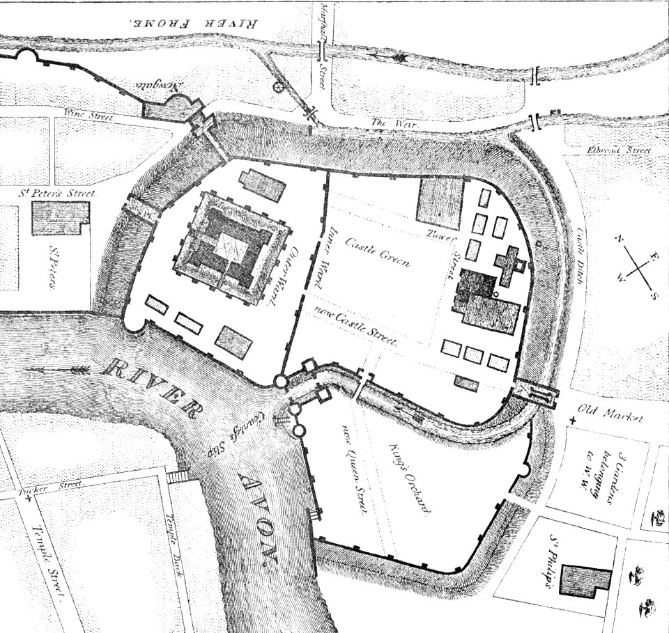
images from bristol past and present (1882)
clifton (bristol ward)
maps made in the 17th century
giappone
maps made in the 17th century
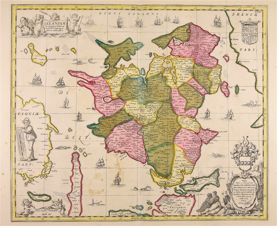
funen
atlantis magni tomus secundus (biblioteca comunale di trento)
maps made in the 17th century
historical images of minsk
old maps of minsk
historical images of minsk
minsk in the 19th century
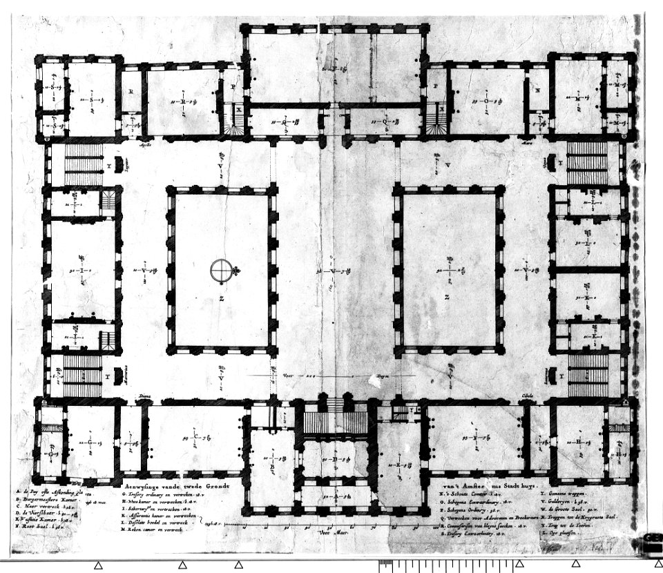
construction drawings in the stadsarchief amsterdam
the conspiracy of claudius civilis
old maps of switzerland
piz varuna
section schwarzenberg (1843)
oberreit
theatrum orbis terrarum (london 1606)
files from the bodleian libraries
theatrum orbis terrarum (london 1606)
files from the bodleian libraries
history of the french navy
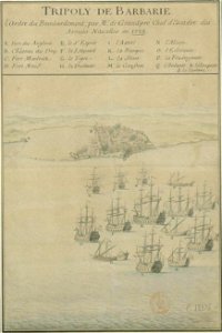
old maps of tripoli
maps made in the 17th century
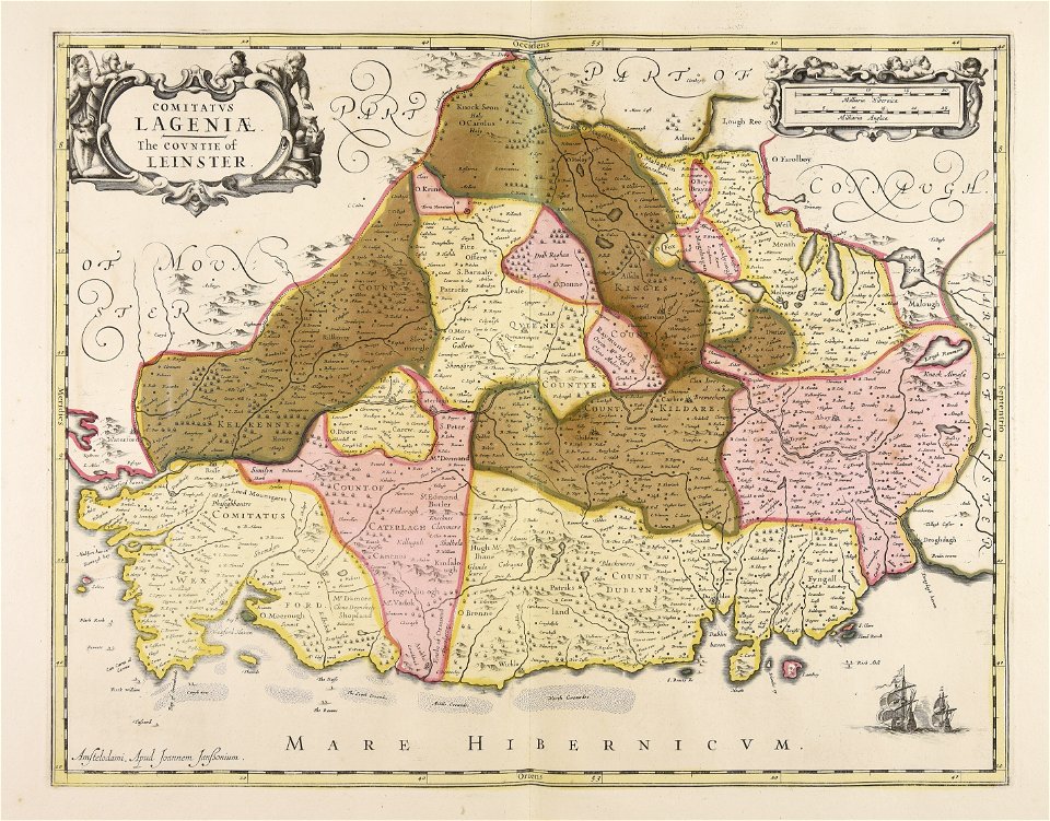
leinster
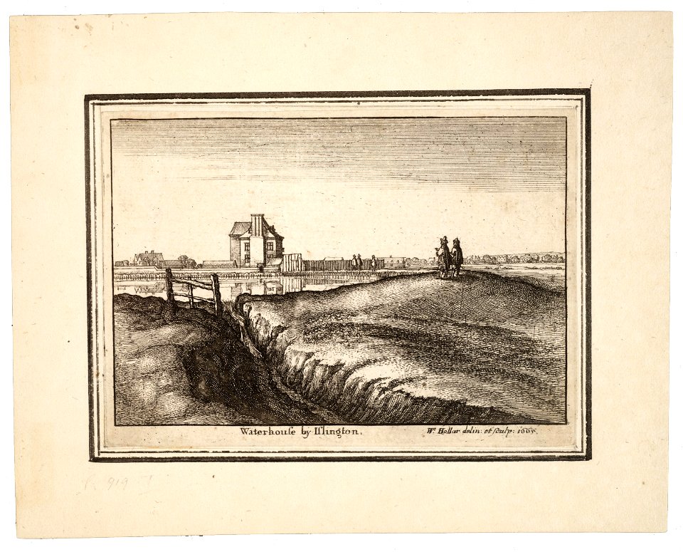
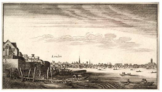
university of toronto wenceslas hollar digital collection
prints by wenzel hollar
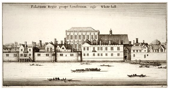
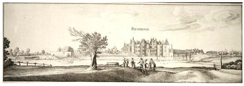
university of toronto wenceslas hollar digital collection
prints by wenzel hollar
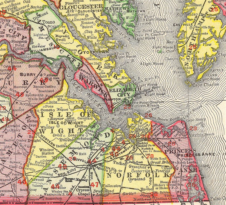
norfolk county
virginia
university of toronto wenceslas hollar digital collection
prints by wenzel hollar
university of toronto wenceslas hollar digital collection
prints by wenzel hollar
university of toronto wenceslas hollar digital collection
prints by wenzel hollar
university of toronto wenceslas hollar digital collection
prints by wenzel hollar
university of toronto wenceslas hollar digital collection
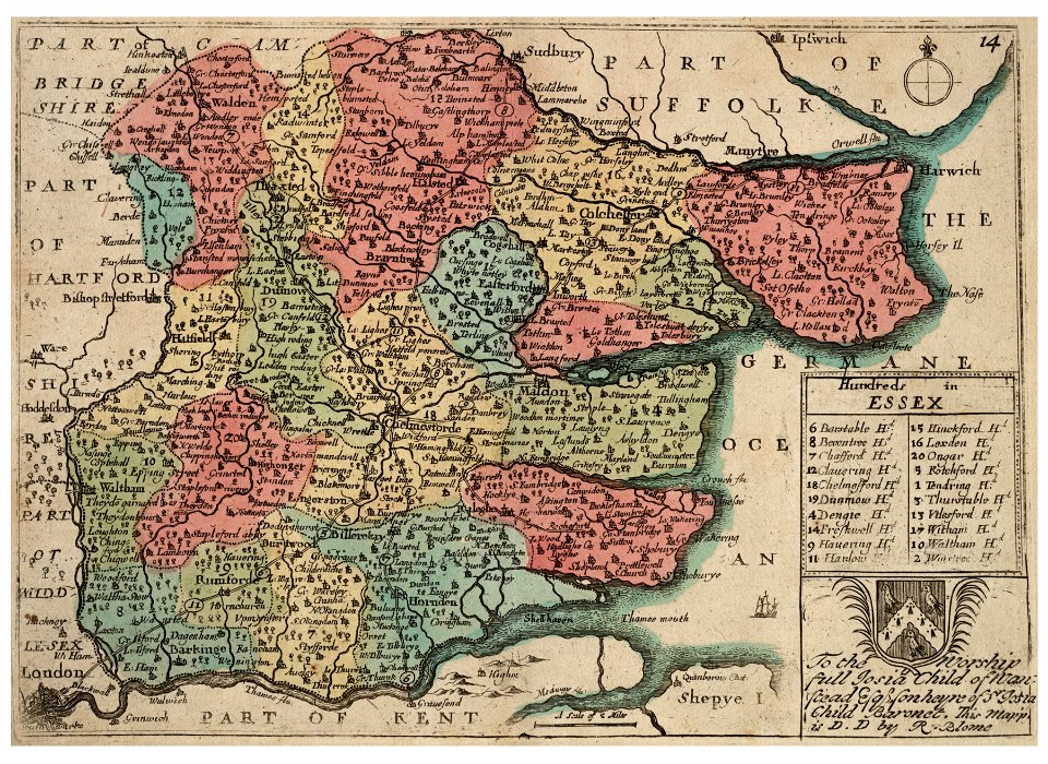
hundred (county division)
weißenburg in bayern in art
maps by homannsche erben
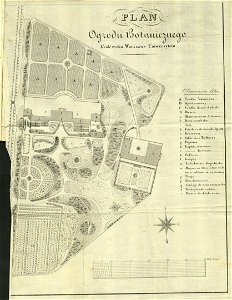
royal park in łazienki (warsaw)
historical maps of warsaw
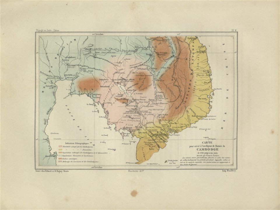
old maps of cambodia
francis garnier
maps made in the 17th century
ungheria
maps by gerardus mercator
mercator celestial globe
dutch 18th-century prints in the rijksmuseum amsterdam
battles of the eighty years' war
collections of tiroler landesmuseum
route
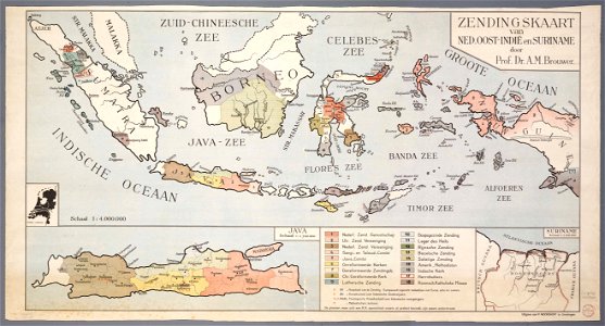
20th-century maps of indonesia
christian mission in indonesia
images from metropolitan museum of art (paris project)
jardin des plantes
engravings of hannover
1730 works in hannover
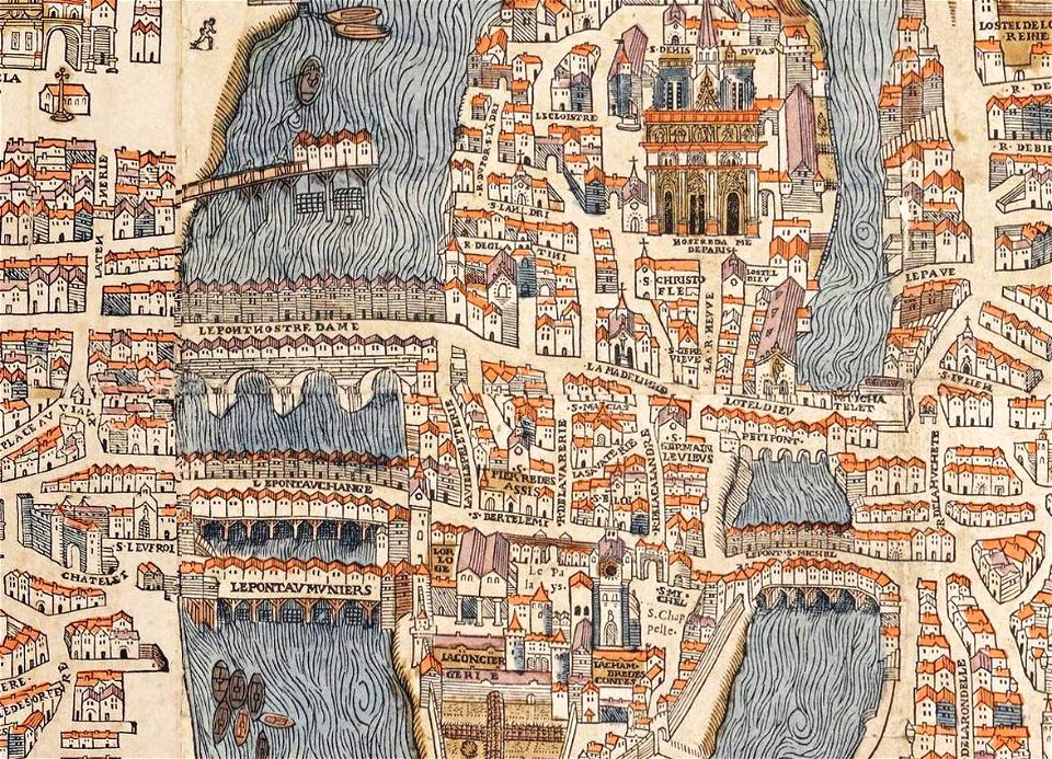
historical images of the pont saint-michel
rue de la huchette (paris)
1758
1711
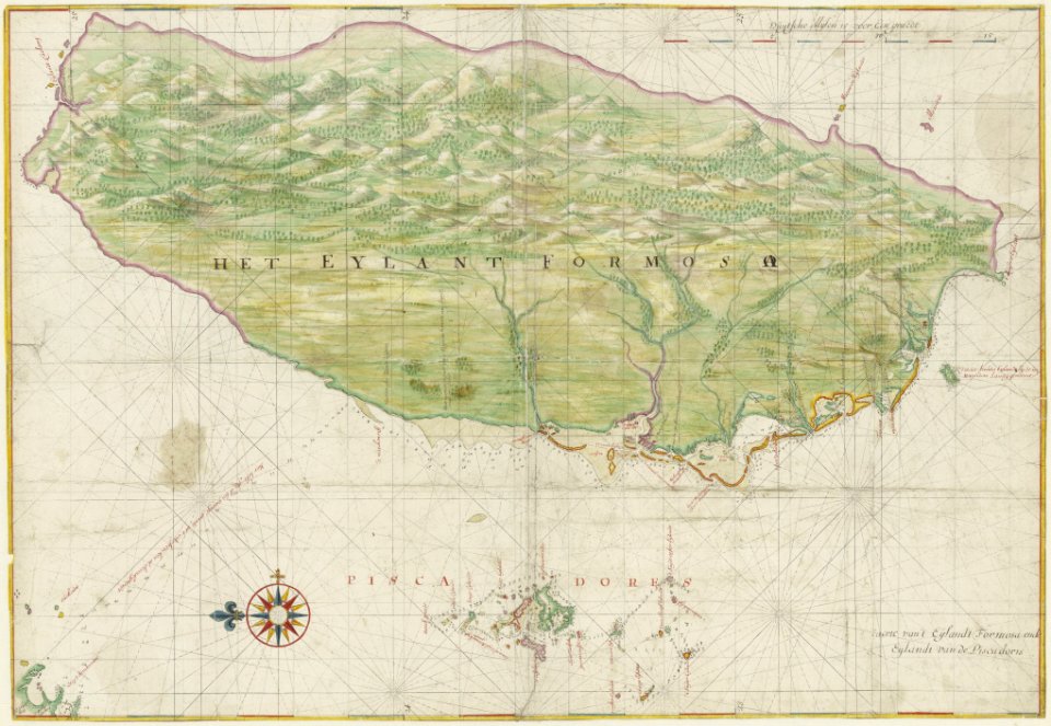
dutch east india company
fort san domingo
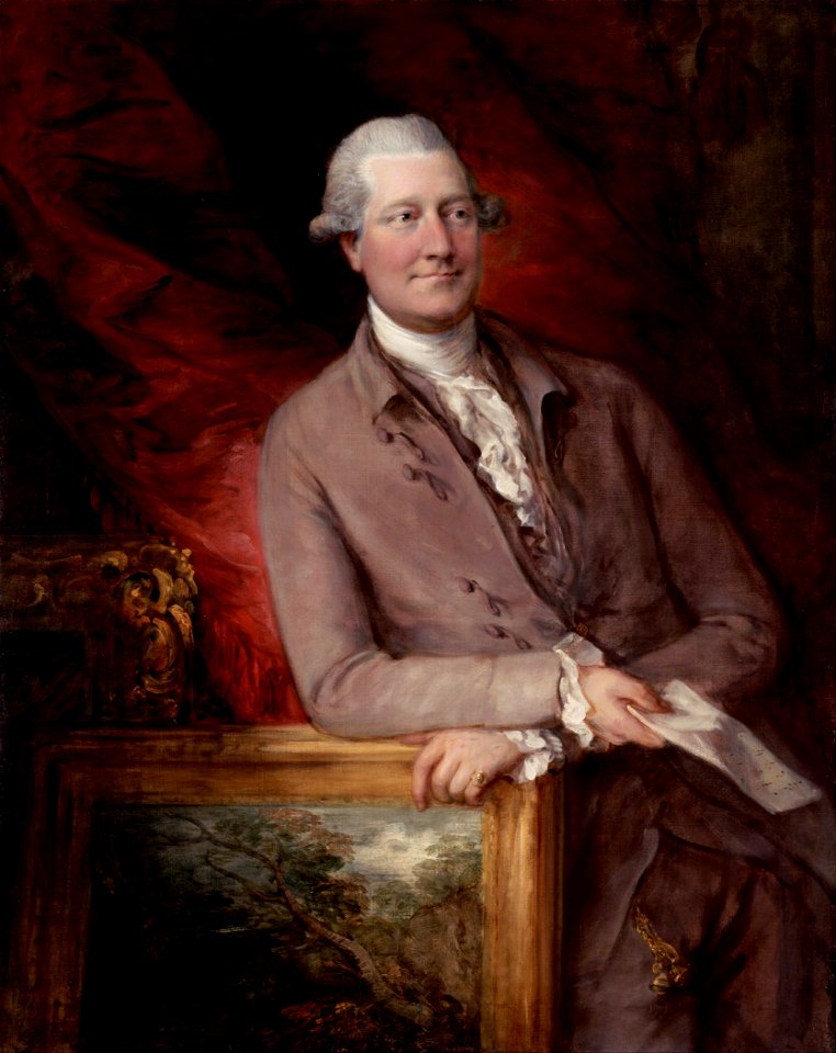
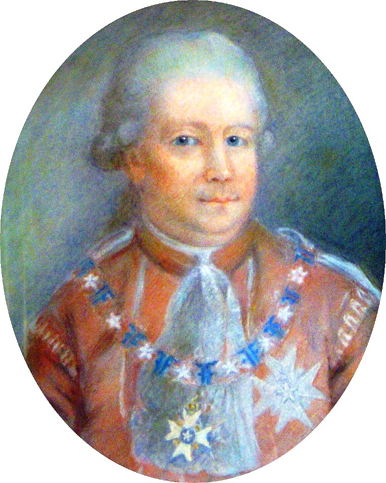
british paintings in the getty center
male
list of knights of the royal order of the seraphim
18th-century portrait paintings of men
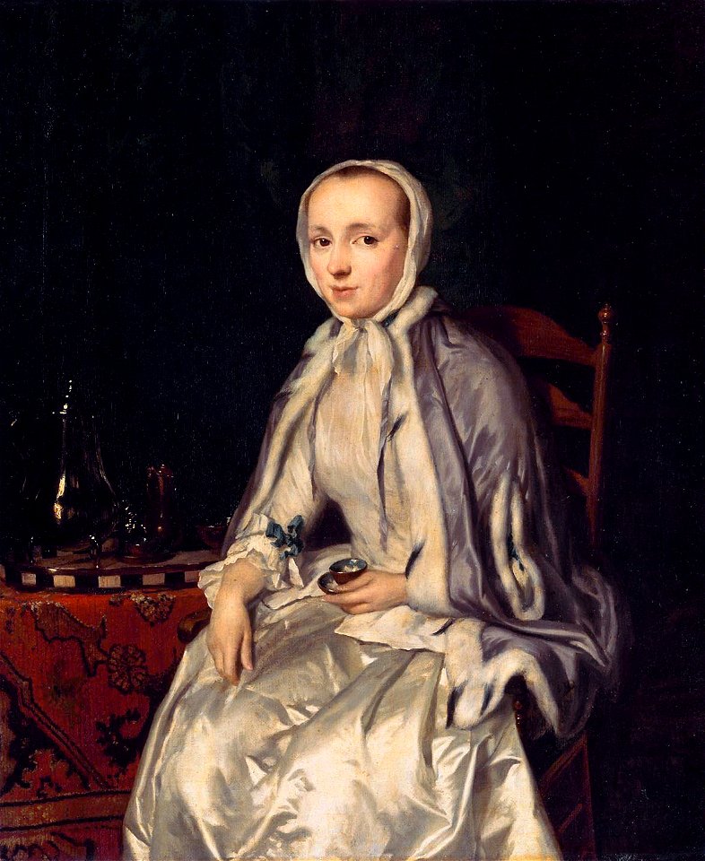
18th-century oil portraits of sitting women at three-quarter length
facing left
18th-century oil portraits of men at bust length
facing right and looking at viewer
18th-century portrait paintings in the musée national du château de versailles
portrait paintings by alexis simon belle (house of bourbon)
17th-century maps of pomerania
old maps of rügen
maps in the library of congress
old maps of istanbul
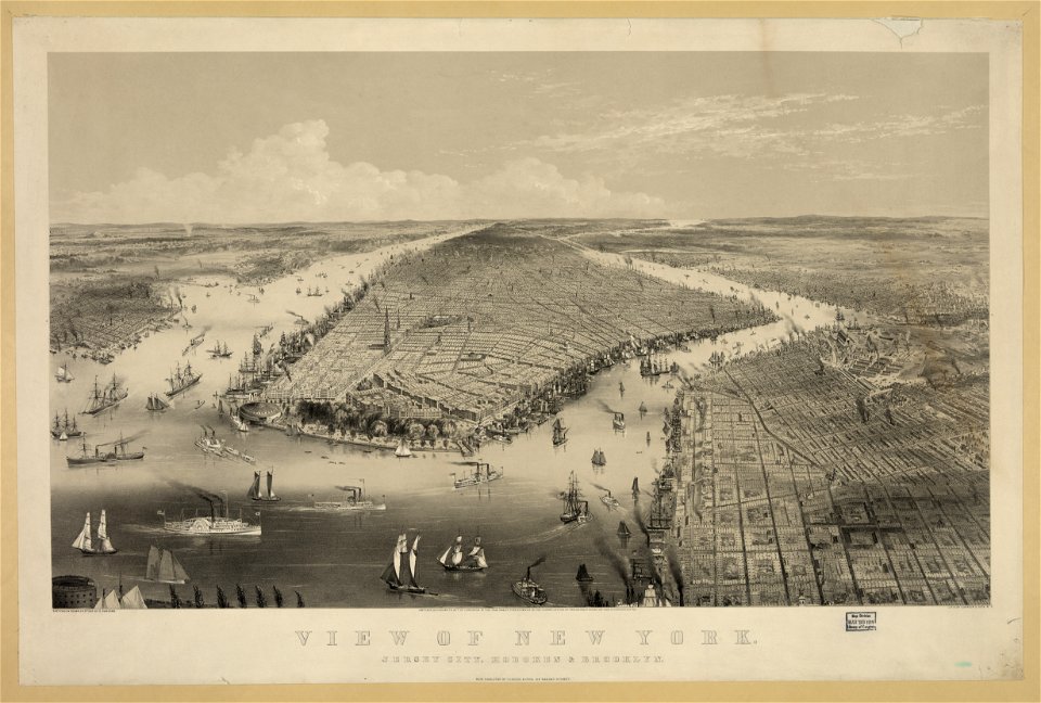
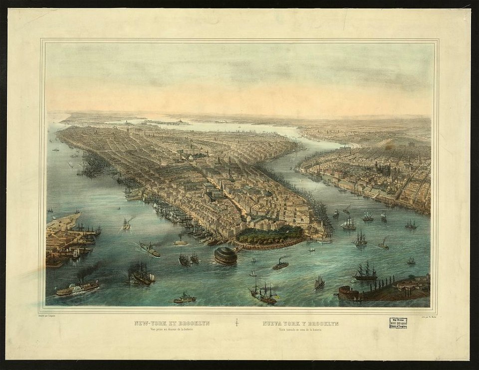
chromolithograph
new york city
paris in the 16th century
lithographs of paris
chromolithograph
currier and ives
cornell university library
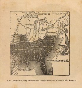
abolitionism
portrait paintings of clemens xii
works by agostino masucci
paintings by joseph dorffmeister in the kunsthistorisches museum
portrait paintings of ferdinand iii, grand duke of tuscany
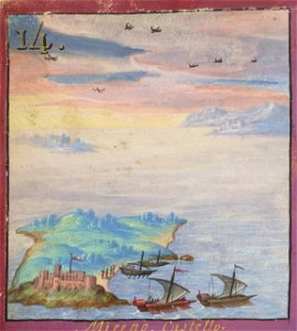
topographic maps made in 18th century
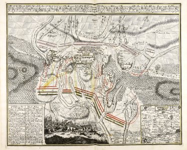
battaglia di malplaquet. 1709
maps and topographical views by joris hoefnagel
historical images of castle of eger
maps made in the 17th century
jan janssonius
atlantis magni tomus primus (biblioteca comunale di trento)
maps made in the 18th century
atlantis magni tomus secundus (biblioteca comunale di trento)
maps made in the 17th century
atlantis magni tomus primus (biblioteca comunale di trento)
maps made in the 17th century
atlantis magni tomus primus (biblioteca comunale di trento)
maps made in the 17th century
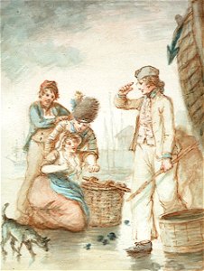
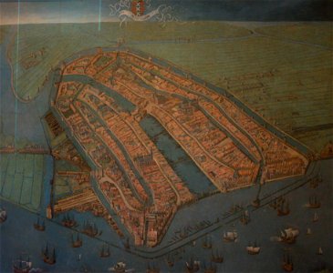
paintings of windmills
boats in art
atlantis magni tomus primus (biblioteca comunale di trento)
maps made in the 17th century
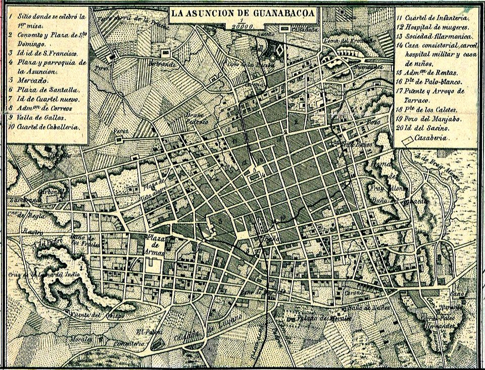
old maps of havana
cuba in the 1860s
old maps of havana
1866
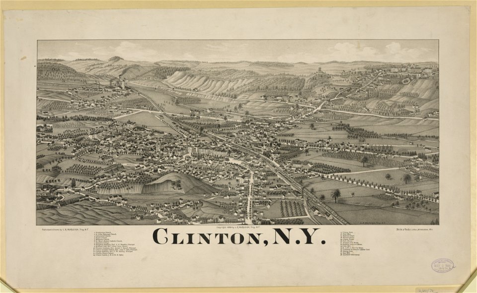
new york
clinton
maps made in the 17th century
jan janssonius
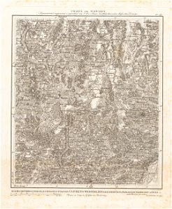
geography of marktoberdorf
kohlhunden
atlantis magni tomus primus (biblioteca comunale di trento)
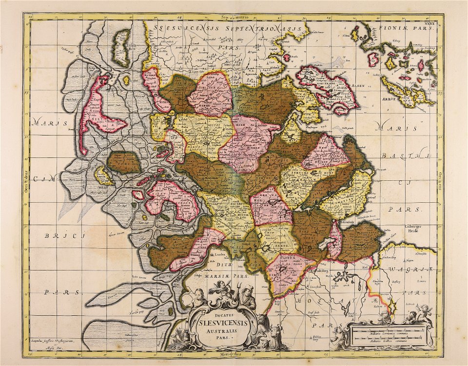
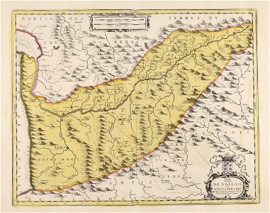
17th-century maps of schleswig-holstein
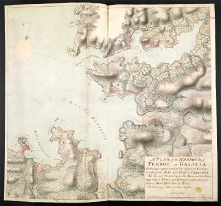
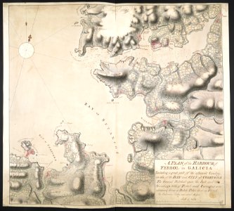
old maps of the province of a coruña
1767 in galicia (spain)
old maps of the province of a coruña
1767 in galicia (spain)
images from bristol past and present (1882)
bristol
9301 - 9400 of 33,468
Next page
/ 335